
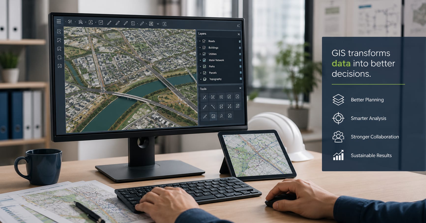
Geographic Information Systems (GIS) have basically shifted how engineers, urban planners, and government agencies look at and manage the built environment. Instead of paper maps or a bunch of fragmented, separately held data sets, people can now fold in location-based information, infrastructure records, environmental indicators, and sometimes even real-time updates, into one shared digital zone. This kind of blended workflow helps you plan better, experience fewer delays during projects, and make stronger decisions in practice at almost every stage of development.
Organizations involved in infrastructure, transportation, utilities or land development can invest in professional GIS services to convert complex geographic data into useful insight. With good mapping and spatial analysis, a project is more predictable; you can plan smarter, you can improve collaboration between groups, and you reduce those costly mistakes before you even get started with construction.
Better Site Selection and Land Development
Choosing the right location is one of those really important decisions in basically any engineering or development project. With GIS, professionals can kind of judge a bunch of things at once, like topography, soil conditions, flood risks, environmental constraints, and how close things are to infrastructure, plus the property boundaries too. Instead of analysing every dataset on its own , planners can visualise most everything together inside a single interactive map.
That wider snapshot helps engineering teams spot reasonable placements faster, while also steering clear of areas that might cause trouble later. So in the end, developers can minimise project risks, trim down environmental impacts, and support better long-term outcomes, even before construction is anywhere near started.
Smarter Infrastructure Planning
Modern infrastructure projects need a kind of careful coordination between transportation networks, utilities, public facilities, and the surrounding communities. GIS gives a clear visual of what’s already there, so engineers can see how a new development will run into roads, stormwater drainage, power networks, and even communication lines that are already in place.
This kind of visibility lets people do more precise design work, and yeah, it also lowers the odds of clashes between different infrastructure pieces, or at least it makes them easier to spot. GIS helps teams make smarter decisions so that highways , bridges, water systems and public buildings stay in operation, remain safe, and keep sustainability in mind for years to come.
Supporting Utility Management
Utility providers end up managing all sorts of sprawling networks of water pipes, sewer systems, electrical cables, gas lines, and telecommunications infrastructure, and keeping track of it all without some dependable spatial management system can get pretty difficult.
GIS helps a lot with asset management because it gives you a precise sort of mapping for underground plus above-ground infrastructure. Then maintenance crews can find assets fast, organize inspections, spot ageing infrastructure more easily, and react more efficiently when service interruptions happen. The result is better operational efficiency, with less downtime and fewer unnecessary excavation costs.
And as the utility networks keep growing, GIS also backs up future planning by pointing out capacity bottlenecks. It also helps organisations prioritise infrastructure upgrades, in a more sensible order.
Improving Environmental Assessments
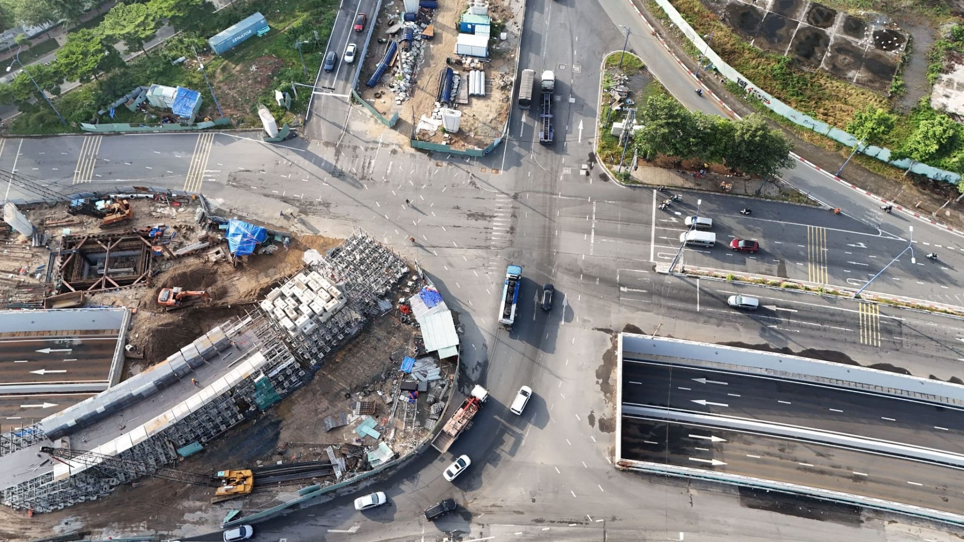
Engineering projects have to deal with strict environmental standards before they can actually start building, and yes, it can be a bit of a hurdle. In this type of situation, GIS is very handy as it brings together various environmental datasets such as wetlands, vegetation, wildlife habitat, flood zones, and protected land into one unified workflow for mapping.
Environmental consultants can then review possible effects quite early during the planning phase, so the project team can adjust designs if needed. That “heads up” style can cut down on permitting delays, and it also makes it easier to balance development objectives with environmental protection, at the same time.
Also, when GIS helps point out sensitive zones ahead of any ground work, it backs responsible land use. And it helps organisations meet regulatory expectations more efficiently, not just in theory but in practice too.
Enhancing Public Works Projects
Local governments kinda depend on GIS for keeping track of a lot of public assets, like roads, parks, sidewalks, stormwater drainage systems, public buildings, and emergency infrastructure stuff. With proper spatial information in place , municipalities can rank maintenance needs, plan repairs, and distribute funding in a smarter way, not just guessing on what “looks” worst.
Take it like this: GIS can point out streets that need resurfacing, it can watch how drainage is doing after heavy rainfall, or it can examine traffic flows so they can upgrade intersection safety. Public works departments also get a kind of practical advantage from smoother coordination across several agencies, which helps prevent the same work being done twice ,and it makes service delivery better for residents. All of this adds up; cities end up running more efficiently, and they squeeze more value out of public resources.
Disaster Planning and Emergency Response
Natural disasters and those unexpected emergencies need fast access to reliable geographic information, like right away. GIS helps with emergency planning in a sort of quiet but important way, because it can spot evacuation routes, emergency shelters, flood-prone zones, and also key infrastructure that might get hit during an event.
Then, when things are actually happening, emergency responders can rely on real-time maps to coordinate staff, keep an eye on changing conditions, and send supplies or teams to where they’re most needed. After the disaster is over, GIS still sticks around, helping recovery work by keeping track of damage, setting repair priorities and supporting insurance evaluations.
And since climate-related risks keep going up, GIS has turned into kind of a must-have piece of emergency preparedness strategies. This matters for both governments and infrastructure operators, not just one side.
Data-Driven Decision Making
More and more, engineering and planning decisions are data-driven, not intuition-driven. GIS enables professionals to integrate multiple forms of evidence within a single decision support environment, from drones, satellite imagery, sensors, traffic studies, demographic summaries and on-the-ground field surveys.
Project managers can utilize Interactive Dashboards and Spatial Analytics to detect patterns, compare different scenarios for development and present the results in an easily understandable manner to the stakeholders. Maps help decision-makers see complex information in a way that is often easier to digest and interpret than long-winded and slow reports.
Overall, this evidence-led approach boosts transparency while it also enables more sound planning across both the public sector and private sector initiatives.
The Future of GIS in Engineering
Advances in cloud computing, artificial intelligence, digital twins, remote sensing and Internet of Things (IoT) technology keep on pushing forward and expanding what GIS can do. Nowadays, modern engineering teams are able to watch infrastructure in real time, anticipate maintenance needs ahead of time, and sketch out future development scenarios with more precision than ever before; it’s kind of a step change, even if the details stay under the hood.
As cities turn into more smart systems and infrastructure is increasingly tied together, GIS keeps showing up as one of those base tools for sustainable advancement, you know. In the early stages, when people are doing the initial planning, plus those environmental reviews, through to later asset management and even emergency response, the capacity to blend geographic data into everyday decisions keeps paying off in tangible ways. It’s like, you take the map, but then it actually guides what happens next, even if nobody notices it much at first. It shows up in ways that people can actually measure in engineering, planning and public works.
Organizations can improve efficiency, lower project risks, and build infrastructure that better serves communities over the long term by combining reliable spatial data with deeper analytics. So, in short, it’s not just about maps but about how maps translate into actionable directions, right when they are needed.
Comments
Loading comments…